Combating the climate crisis with AI
ELLIS Unit Jena improves the prediction of extreme weather events.
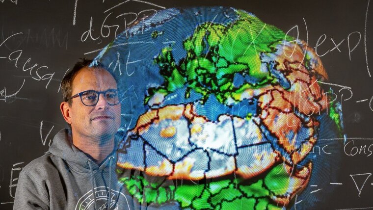
At the ELLIS Unit Jena, under the leadership of Prof. Dr Markus Reichstein and his colleague Prof. Dr Joachim Denzler, researchers are striving to predict the impact of extreme weather events with the help of AI. This should make it possible to provide advance warning to the people likely to be affected.
By Marco Körner
Protecting people against extreme weather events and their consequences in good time requires precise forecasts. A research team led by Markus Reichstein is examining how to develop artificial intelligence (AI) tools to adapt to these effects of climate change. Reichstein is Professor of Global Geoecology at the University of Jena, Director of the Max Planck Institute for Biogeochemistry and one of two directors of the ELLIS Unit Jena.
ELLIS—which stands for »European Laboratory for Learning and Intelligent Systems«–is a pan-European excellence network specializing in AI. Three research institutions—the University of Jena, the Max Planck Institute for Biogeochemistry and the Institute of Data Science at the German Aerospace Center (DLR)—joined the ELLIS Unit Jena in 2021.
»When it comes to the climate crisis, there are two aspects to consider: climate change mitigation and climate change adaptation,« explains Prof. Reichstein. There is already a genuine need to adapt to climate change, he emphasizes, pointing to the increase in extreme weather events as a clear indication.
Reichstein believes that AI can be a game-changer. »Certain situations like fires and local flooding are so complex that we can’t easily predict them with physical models. However, we can forecast them with AI,« he explains. »AI methods like machine learning can identify patterns in historical climate data—from satellite images to temperature measurements—and estimate future weather events with greater accuracy. Plus, we now have the advantage of vast amounts of data.« By way of example, Reichstein points to satellite data, which records parameters such as vegetation, temperature, moisture levels and much more over years and decades in some regions.
»We are using this to train an AI model and tell it, for example, what a given landscape looks like. We can then use this AI to help us forecast whether and where flooding, droughts and fires might occur when subject to different weather conditions.«
The fact that the impacts of climate change differ significantly from region to region plays an important role in the ELLIS Unit’s research. »Regional variations are decisive to understanding how different ecosystems and geographical areas react to changes in the climate,« says Reichstein. He offers an example to illustrate his point: »A few months before the huge downpours in Germany’s Ahr Valley in July 2021, similarly heavy rain had fallen in the Uckermark, an area in northern Germany. On that occasion, however, the impact was relatively small. This was due to the sandy soil and the gentle terrain, so the water was able to flow away at a fairly relaxed rate.«
This example, he explains, shows how a few factors can determine whether or not disaster strikes. »This is also where conventional physical models reach their limits because, ultimately, they have to identify and consider every single factor at play.« By contrast, AI models identify patterns without having to determine the specific factors that cause them. Not only does this often provide more precise results, it also saves computing power and, as a result, both time and energy.
»We start by training the AI with remote sensing data, for all of Africa, for example. Then, if we want to see whether there is a risk of crop failure in Rwanda, the AI can take a closer look at Rwanda. In addition to this data, we provide local information such as the latest weather reports, forecasts for the coming days and current vegetation levels,« he explains. »In this manner, we can look at any weather situation around the globe and model the impacts that could occur, such as droughts in East Africa or forest fires like those we recently saw in Canada.«
Reichstein is well aware that remote sensing data has its limits. »We can use microwave data to determine whether or not the surface of the soil is moist. However, this doesn’t allow us to draw any conclusions about deeper layers.«
It is also essential that forecast climate data and risks are communicated appropriately so that the people affected can take action to protect themselves. »Communicating the results and, if necessary, the warnings and recommendations for action to those affected is probably the primary task,« adds Reichstein. This can be seen, he says, in the challenge of making complex data such as elevated river levels and their potential consequences comprehensible to a wide audience, from the residents affected to the relevant authorities.
AI also has a role to play in this regard. »We have the ability to make forecasts and depict different scenarios very vividly,« explains Reichstein. »For example, just as AI is used to generate artificial images, we can use AI along with Google Maps or OpenStreetMap to show what flooding in a given city might look like in an actual, real life scenario.« This illustration demonstrates that a one-metre change in the level of a river can determine whether a given house will be flooded or not. »With AI, we can vividly depict who exactly is at risk of such events and also the degree to which their house might be flooded,« he explains.
With this in mind, Prof. Reichstein believes that communicating the potential impacts of upcoming weather events to the people likely to be affected is also part of climate resilience. »It’s precisely because we want people to prepare for specific events that I believe communicating research results is an essential aspect of climate science.«